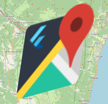
Overlay Image Layer

RotatedOverlayImageRotation & Skewing
Last updated
Was this helpful?

RotatedOverlayImageLast updated
Was this helpful?
Was this helpful?
OverlayImageLayer(
  overlayImages: [
    OverlayImage( // Unrotated
      bounds: LatLngBounds(
        LatLng(45.3367881884556, 14.159452282322459),
        LatLng(45.264129635422826, 14.252585831779033),
      ),
      imageProvider: NetworkImage(),
    ),
  ],
),